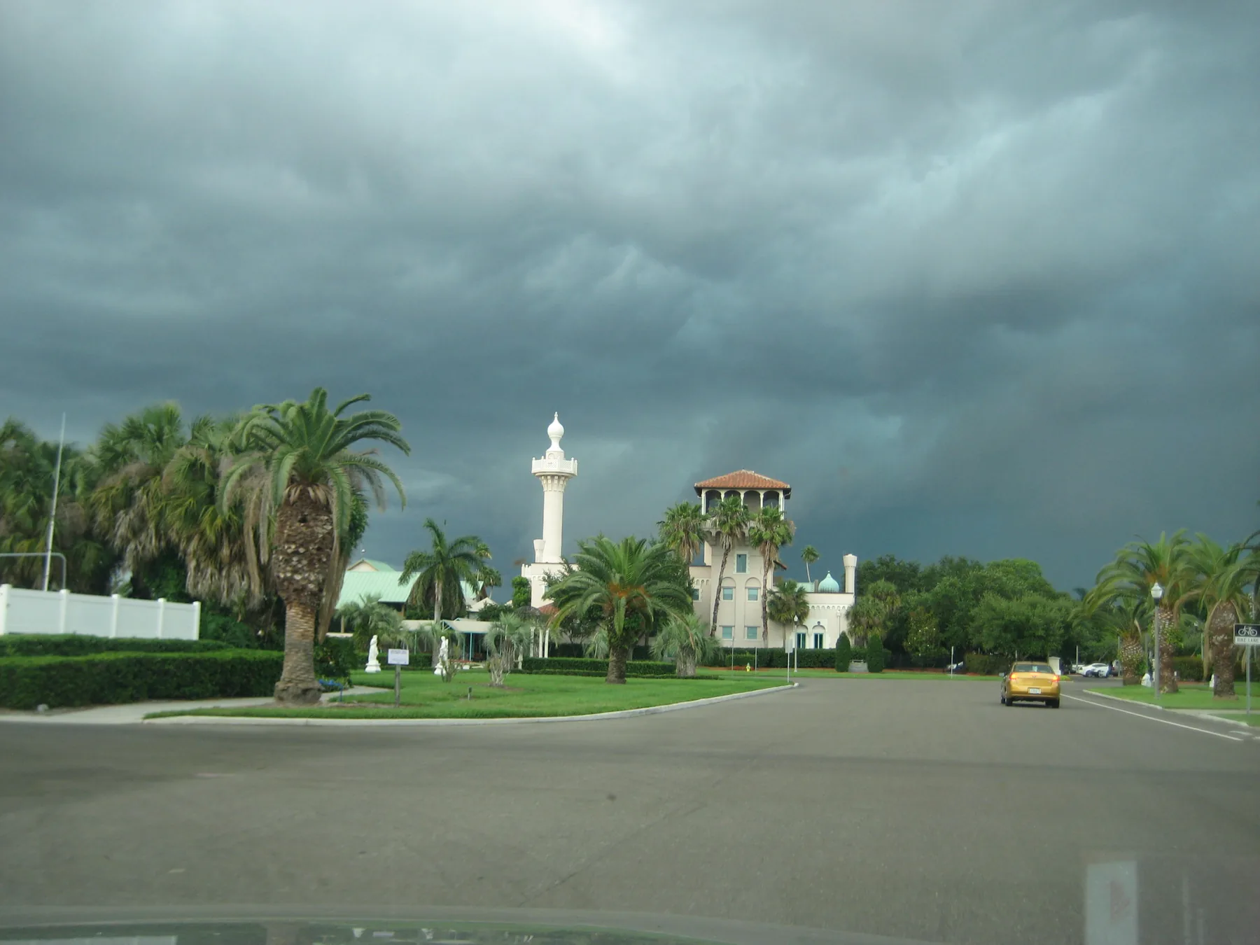
Snell Isle is a 698-acre waterfront area off Coffee Pot Bayou, all in ZIP code 33704, zoned for North Shore Elementary and St. Petersburg High.
Last checked Oct. 11, 2026. Sources: the City of St. Petersburg’s neighborhood association map, parcel map and parks layer, Pinellas County Schools’ School Zone Locator, the Florida Department of Education’s 2026 school grades, the Zillow Home Value Index (Zillow Research), PSTA schedule data and © OpenStreetMap contributors.
Snell Isle is the waterfront area across Coffee Pot Bayou from Old Northeast: single-family homes on curving streets and canals, with some condo buildings. On the city’s map it is the area of the Snell Isle Property Owners Association, about 698 acres.
What this means for you
- Zoned high school: St. Petersburg High for all 16 addresses we checked. It earned an A in Florida’s 2026 school grades. Check an exact address with the district’s School Zone Locator.
- Home value: $735,185 in ZIP code 33704 in August 2026, according to the Zillow Home Value Index.
- Nearest I-275 exits: exit 24 (22nd Avenue North) and exit 25 (38th Avenue North).
Part of our St. Petersburg neighborhoods guide.
Where it is
Snell Isle sits northeast of downtown on the north side of Coffee Pot Bayou, with Tampa Bay to the east. Snell Isle Boulevard NE is its main road, with Monterey Boulevard NE and Almedo Way NE branching off it. Old Northeast, with its own page, is across Coffee Pot Bayou to the south.
The city’s parcel map shows 1,796 parcels: 1,275 single-family homes, 312 multifamily parcels (mostly condo units) and 157 vacant residential lots. Every one is in ZIP code 33704.
Schools
We checked 16 residential addresses spread across the area in Pinellas County Schools’ School Zone Locator on Oct. 11 for the 2026-27 school year. Grades are from the Florida Department of Education’s 2026 school grades.
| Level | Zoned school | Addresses | 2026 grade |
|---|---|---|---|
| Elementary | North Shore Elementary, 200 35th Ave. NE | 16 of 16 | A |
| Middle | John Hopkins Middle, 701 16th St. S | 16 of 16 | B |
| High | St. Petersburg High, 2501 5th Ave. N | 16 of 16 | A |
Each school name links to its state report card. The locator showed no change for any of these addresses under the district’s Planning for Progress rezoning proposal for 2027-28, which the School Board is scheduled to vote on Tuesday, Oct. 13. More in our schools guide.
Home values
The typical home value in ZIP code 33704 was $735,185 in August 2026, up 0.7% from $729,747 in August 2025, according to the Zillow Home Value Index. The index is a modeled typical value for the middle third of homes, houses and condos together, not a sale price. ZIP code 33704 also covers the northern part of Old Northeast and most of Crescent Lake, so the figure is not Snell Isle’s alone. Zillow’s figure for St. Petersburg as a whole was $354,074, down 1.1%. More in our home prices guide.
Parks and trails
From the city’s parks layer, inside the area:
- Snell Isle Park, Snell Isle Boulevard NE at Barrett Boulevard NE
- Northeast Exchange Club Coffee Pot Park, 1st Street NE at 31st Avenue NE
- Coffee Pot Riviera Park (Pete’s Park), near 301 Coffee Pot Riviera NE
- Snell Isle Estates Park, 31st Avenue NE at 31st Terrace NE
The larger bayfront parks of Old Northeast, such as North Shore Park, are to the south. See our parks and trails guide.
Getting around
- I-275: exit 24 (22nd Avenue North) and exit 25 (38th Avenue North), by the exit numbers in OpenStreetMap.
- City Hall, 175 5th St. N: about 3 miles by road.
- Airports: about 18.5 miles to Tampa International Airport and about 13 miles to St. Pete-Clearwater International Airport. These are distances measured on the OpenStreetMap road network with the OSRM routing engine from the middle of the area, not drive times.
- Bus: PSTA’s most recent public schedule data (the service that began Nov. 30, 2025) shows no stops inside the area; routes run on 4th Street North. Check with PSTA at 727-540-1900.
More in our getting around guide.
HOAs and neighborhood associations
The city’s registry lists the Snell Isle Property Owners Association as active, meeting monthly on the first Monday at the St. Petersburg Women’s Club. The registry does not say whether membership is required, so ask the association about a specific property.
Groceries and everyday stores
OpenStreetMap lists no supermarket or pharmacy inside the area. The nearest are on 4th Street North and 37th Avenue North, less than half a mile from its edge: The Fresh Market, 2900 4th St. N; Trader Joe’s, 2742 4th St. N; and a Publix, 200 37th Ave. N, next to a CVS Pharmacy, 294 37th Ave. N.
How we drew this area
This page follows the Snell Isle Property Owners Association boundary on the City of St. Petersburg’s neighborhood association map. Parcel counts and ZIP codes come from the city’s parcel map. School results are a sample of 16 addresses, so check your own. Road distances and store locations use © OpenStreetMap contributors.
Frequently asked questions
What schools is Snell Isle zoned for?
All 16 Snell Isle addresses we checked in the district’s School Zone Locator for 2026-27 are zoned for North Shore Elementary, John Hopkins Middle and St. Petersburg High.
Is Snell Isle a good place to live?
Here are the facts. Snell Isle is a 698-acre waterfront area of mostly single-family homes with four small city parks, zoned for St. Petersburg High, which earned an A in Florida’s 2026 grades. The typical home value in ZIP code 33704 was $735,185 in August 2026, according to Zillow.
What ZIP code is Snell Isle in St. Petersburg?
33704, for every parcel in the Snell Isle Property Owners Association area on the city’s map.
Does a bus run to Snell Isle?
PSTA’s most recent public schedule data shows no stops inside the area. The nearest routes run on 4th Street North.
Have your say