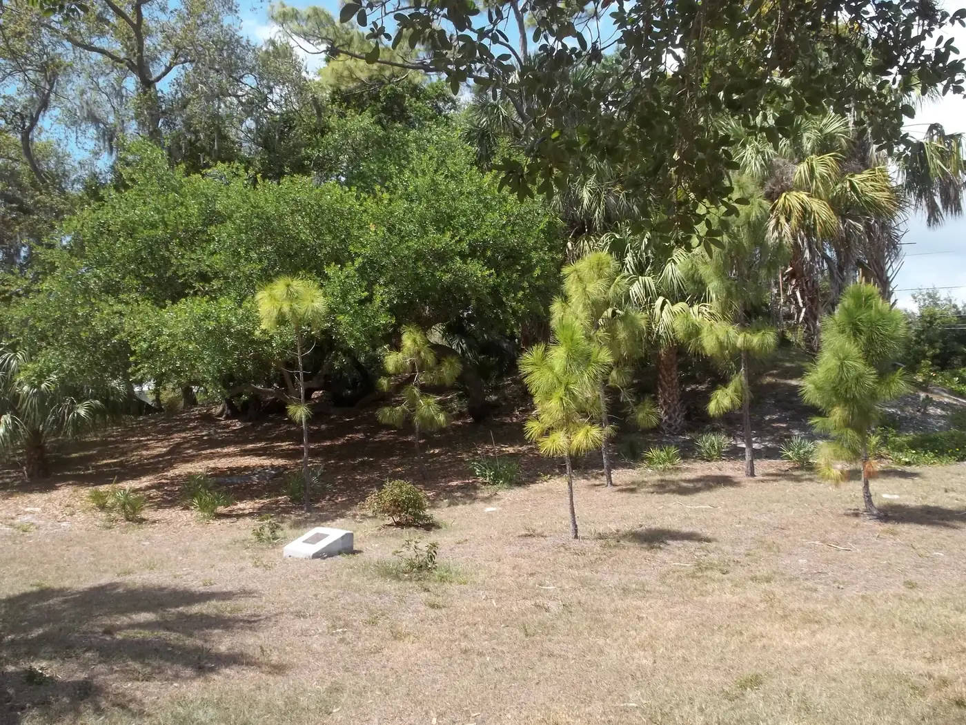
Greater Pinellas Point is a 2,012-acre area at the city's southern tip, in ZIP codes 33712, 33705 and 33711, zoned for Bay Point Middle and Lakewood High.
Last checked Oct. 11, 2026. Sources: the City of St. Petersburg’s neighborhood association map, parcel map and parks layer, the Greater Pinellas Point Civic Association, Pinellas County Schools’ School Zone Locator, the Florida Department of Education’s 2026 school grades, the Zillow Home Value Index (Zillow Research), PSTA schedule data and © OpenStreetMap contributors.
Pinellas Point is the southern tip of St. Petersburg, south of 54th Avenue South, with Tampa Bay on three sides and the Sunshine Skyway Bridge in view. On the city’s map it is the area of the Greater Pinellas Point Civic Association, about 2,012 acres, the largest area in this guide.
What this means for you
- Zoned high school: Lakewood High for all 16 addresses we checked. It earned an A in Florida’s 2026 school grades. Check an exact address with the district’s School Zone Locator.
- Home value: $321,132 in ZIP code 33712 and $331,140 in 33705 in August 2026, according to the Zillow Home Value Index.
- Nearest I-275 exit: exit 16 (Pinellas Point Drive), about 1.6 miles by road.
Part of our St. Petersburg neighborhoods guide.
Where it is
By the addresses on the city’s parcel map, the association’s area runs south from 54th Avenue South to the bay, and from 4th Street South west to about 31st Street South and Maximo Park. Pinellas Point Drive South curves through it, and 62nd Avenue South, Dr. Martin Luther King Jr. Street South and 31st Street South are its other main roads. The civic association says the neighborhood is surrounded on three sides by Tampa Bay and has eight parks totaling more than 140 acres, nine boat ramps, two recreation centers and a neighborhood pool.
The city’s parcel map shows 4,894 parcels: 3,571 single-family homes and 1,043 multifamily parcels, mostly condo units. ZIP code 33712 covers 48% of them, 33705 42% and 33711 10%.
Schools
We checked 16 residential addresses spread across the area in Pinellas County Schools’ School Zone Locator on Oct. 11 for the 2026-27 school year. Grades are from the Florida Department of Education’s 2026 school grades.
| Level | Zoned school | Addresses | 2026 grade |
|---|---|---|---|
| Elementary | Maximo Elementary, 4850 31st St. S | 10 of 16 | A |
| Elementary | Lakewood Elementary, 4151 6th St. S | 6 of 16 | A |
| Middle | Bay Point Middle, 2151 62nd Ave. S | 16 of 16 | A |
| High | Lakewood High, 1400 54th Ave. S | 16 of 16 | A |
Each school name links to its state report card. The area is split between two elementary zones, so check the exact address. The locator showed no change for any of these addresses under the district’s Planning for Progress rezoning proposal for 2027-28, which the School Board is scheduled to vote on Tuesday, Oct. 13. More in our schools guide.
Home values
Zillow’s typical home value was $321,132 in ZIP code 33712 in August 2026, down 0.1% from $321,581 a year earlier; $331,140 in 33705, down 1.2%; and $275,667 in 33711, down 3.1%, according to the Zillow Home Value Index. The index is a modeled typical value for the middle third of homes, houses and condos together, not a sale price. Each ZIP code reaches north of Pinellas Point, so no figure is the area’s alone. Zillow’s figure for St. Petersburg as a whole was $354,074, down 1.1%. More in our home prices guide.
Parks and trails
From the city’s parks layer, inside the area:
- Lake Vista Park, 1401 62nd Ave. S, with the recreation center where the association meets
- Maximo Park, 34th Street South at Pinellas Point Drive South
- Pinellas Point Park, Amber Way at Manor Way South
- Indian Mound Park, Mound Place South at Bethel Way South
- Bay Vista Park, 4th Street South at Pinellas Point Drive South, and Forrest Bluff Park, 4th Street South at 65th Avenue South
- Flory Lake, 830 69th Ave. S
- Dr. Reggie Ligon Baseball Complex, 1201 58th Ave. S
- South Branch Library, 2300 Roy Hanna Drive S
See our parks and trails guide.
Getting around
- I-275: exit 16 (Pinellas Point Drive), about 1.6 miles by road, and exit 17 (54th Avenue South and the Pinellas Bayway), by the exit numbers in OpenStreetMap.
- City Hall, 175 5th St. N: about 5.5 miles by road.
- Airports: about 25.5 miles to Tampa International Airport and about 17 miles to St. Pete-Clearwater International Airport.
- These are distances measured on the OpenStreetMap road network with the OSRM routing engine from the middle of the area, not drive times.
- Bus: PSTA’s most recent public schedule data (the service that began Nov. 30, 2025) shows routes 4 and 20 stopping in the area. Check current routes with PSTA at 727-540-1900.
More in our getting around guide.
HOAs and neighborhood associations
The city’s registry lists the Greater Pinellas Point Civic Association as active, meeting on the last Tuesday of the month at 6:30 p.m. at the Lake Vista Recreation Center. It is a voluntary civic association. Condo complexes have their own associations, which the registry does not list.
Groceries and everyday stores
OpenStreetMap lists a Publix at 3030 54th Ave. S inside the area and another at 5295 34th St. S, just outside it, with Walgreens and CVS pharmacies along 34th Street South and 54th Avenue South.
How we drew this area
This page follows the Greater Pinellas Point Civic Association boundary on the City of St. Petersburg’s neighborhood association map. Parcel counts, street ranges and ZIP codes come from the city’s parcel map. School results are a sample of 16 addresses, so check your own. Road distances and store locations use © OpenStreetMap contributors.
Frequently asked questions
What schools is Pinellas Point zoned for?
All 16 Pinellas Point addresses we checked in the district’s School Zone Locator for 2026-27 are zoned for Bay Point Middle and Lakewood High. Ten were zoned for Maximo Elementary and six for Lakewood Elementary.
Is Pinellas Point a good place to live?
Here are the facts. Greater Pinellas Point is a 2,012-acre area on Tampa Bay that its civic association says has eight parks covering more than 140 acres and nine boat ramps. It is zoned for Lakewood High, rated A in Florida’s 2026 grades. The typical home value in ZIP code 33712 was $321,132 in August 2026, according to Zillow.
What ZIP code is Pinellas Point?
Three: 33712 (48% of parcels on the city’s map), 33705 (42%) and 33711 (10%).
What I-275 exit is Pinellas Point Drive?
Exit 16, by the exit numbers in OpenStreetMap. Exit 17 serves 54th Avenue South and the Pinellas Bayway.
Have your say